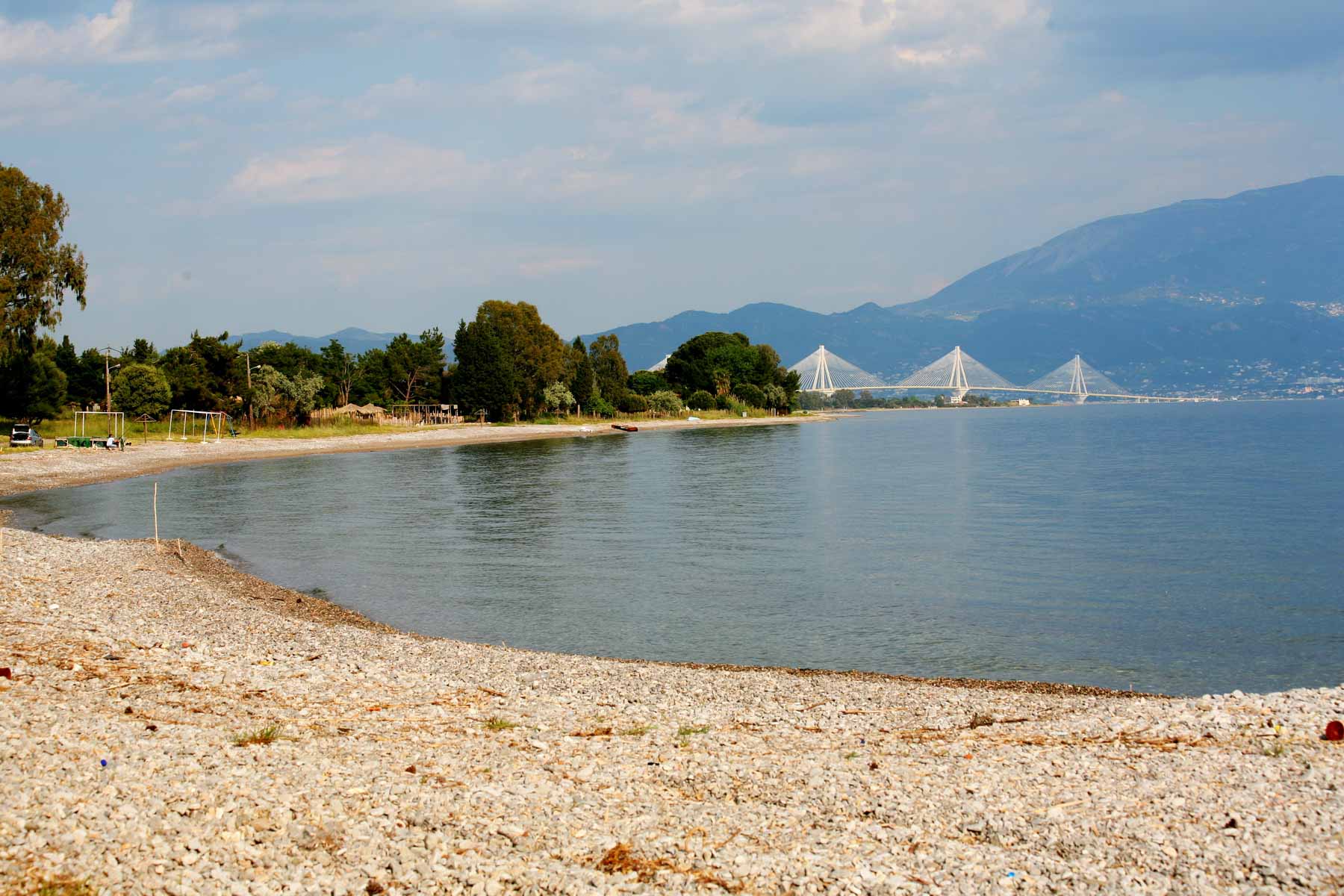
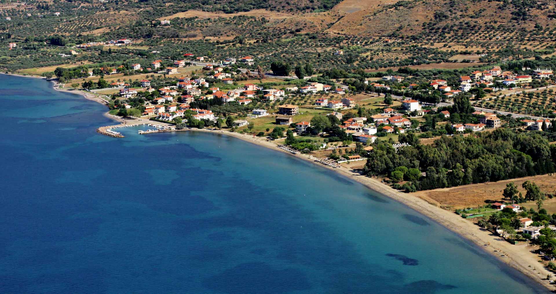
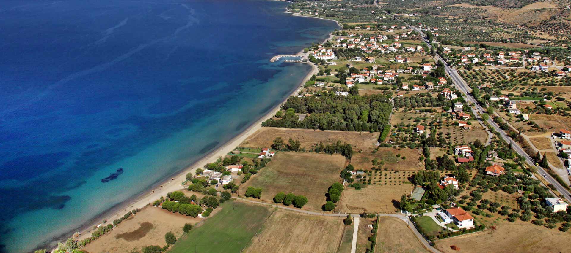
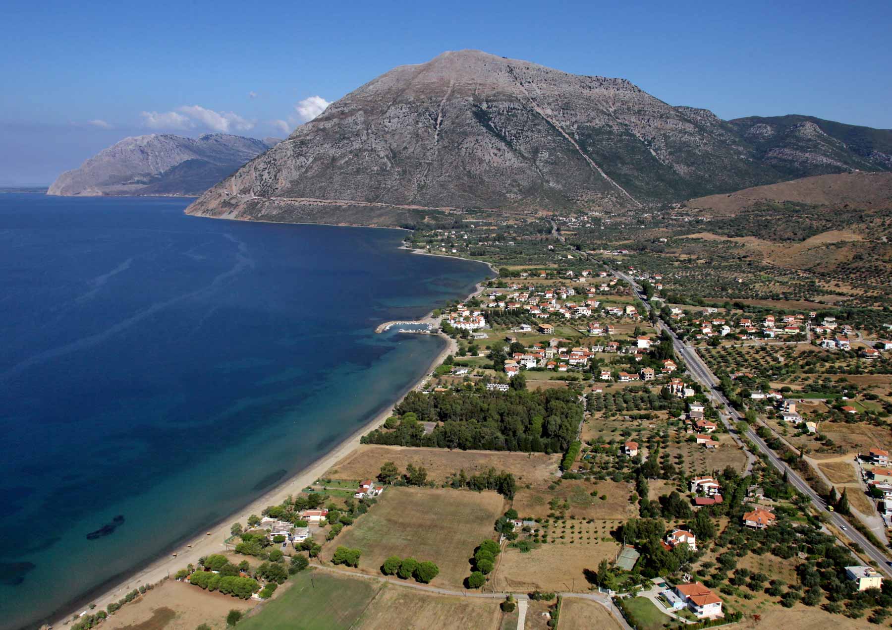
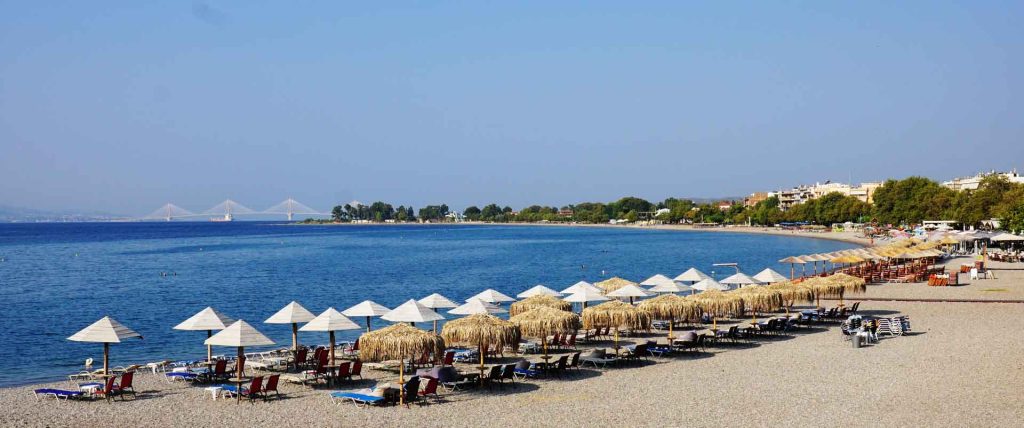
Nafpaktos port
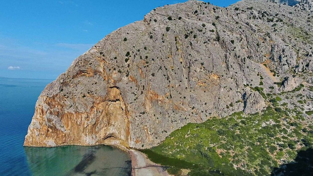
‘Dive’ into history!
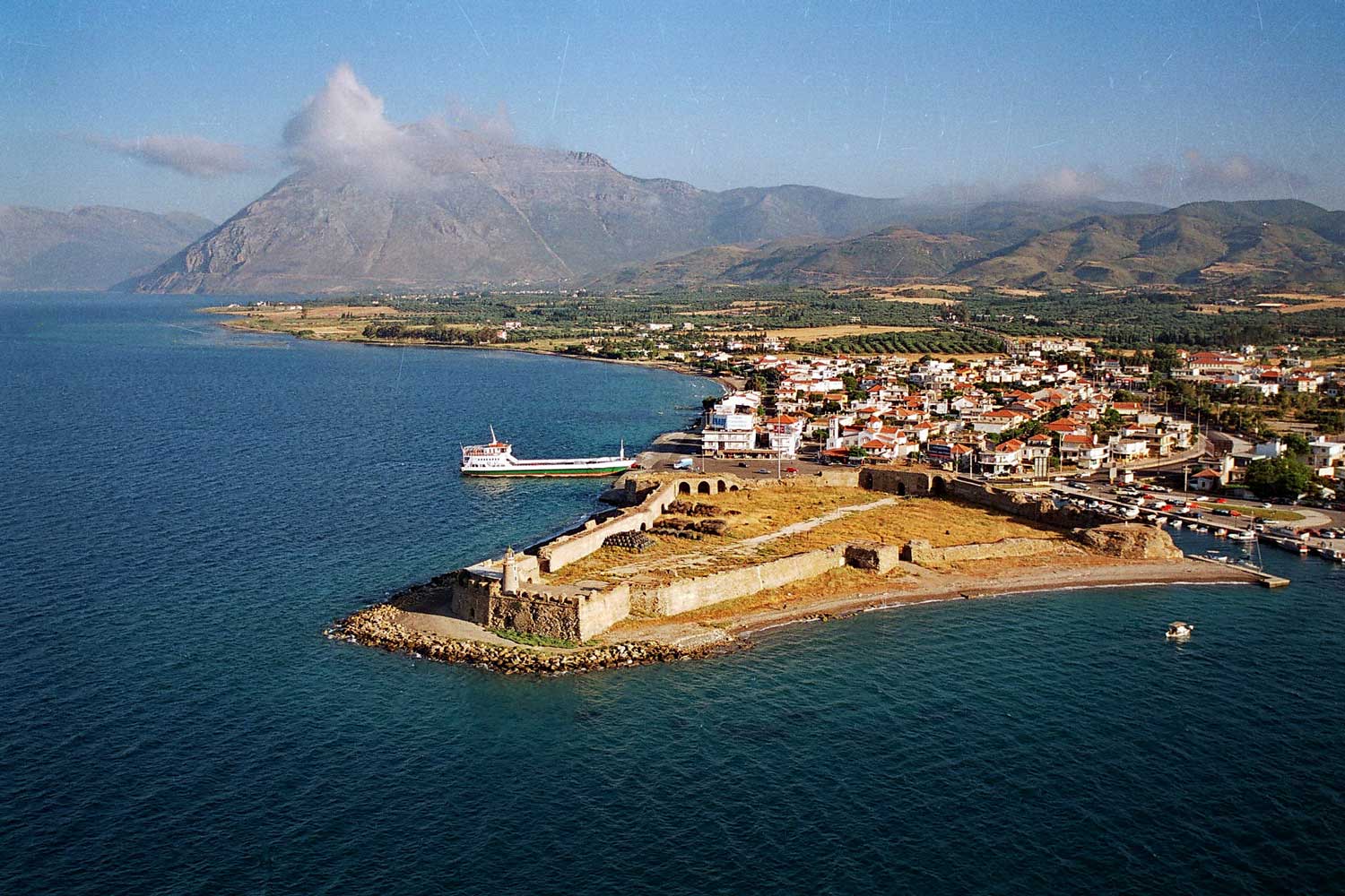
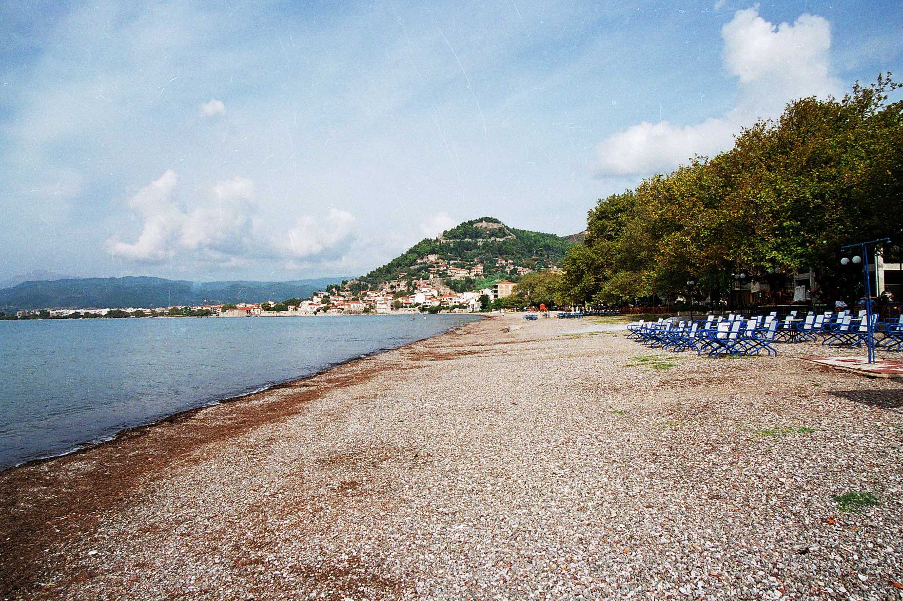
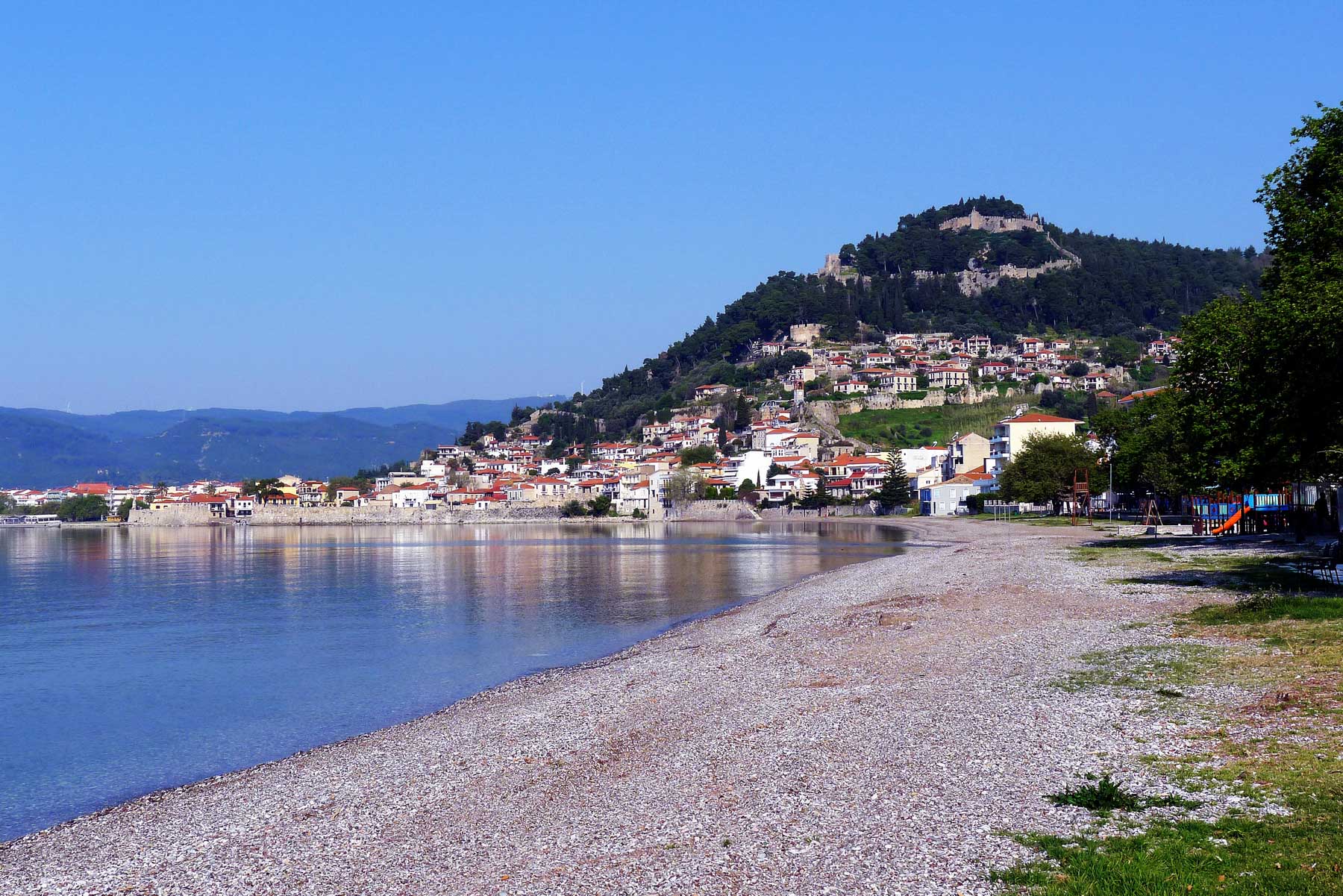
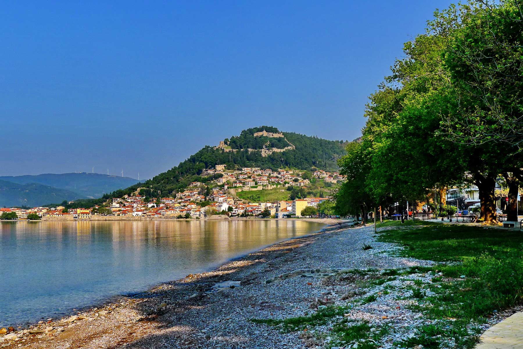
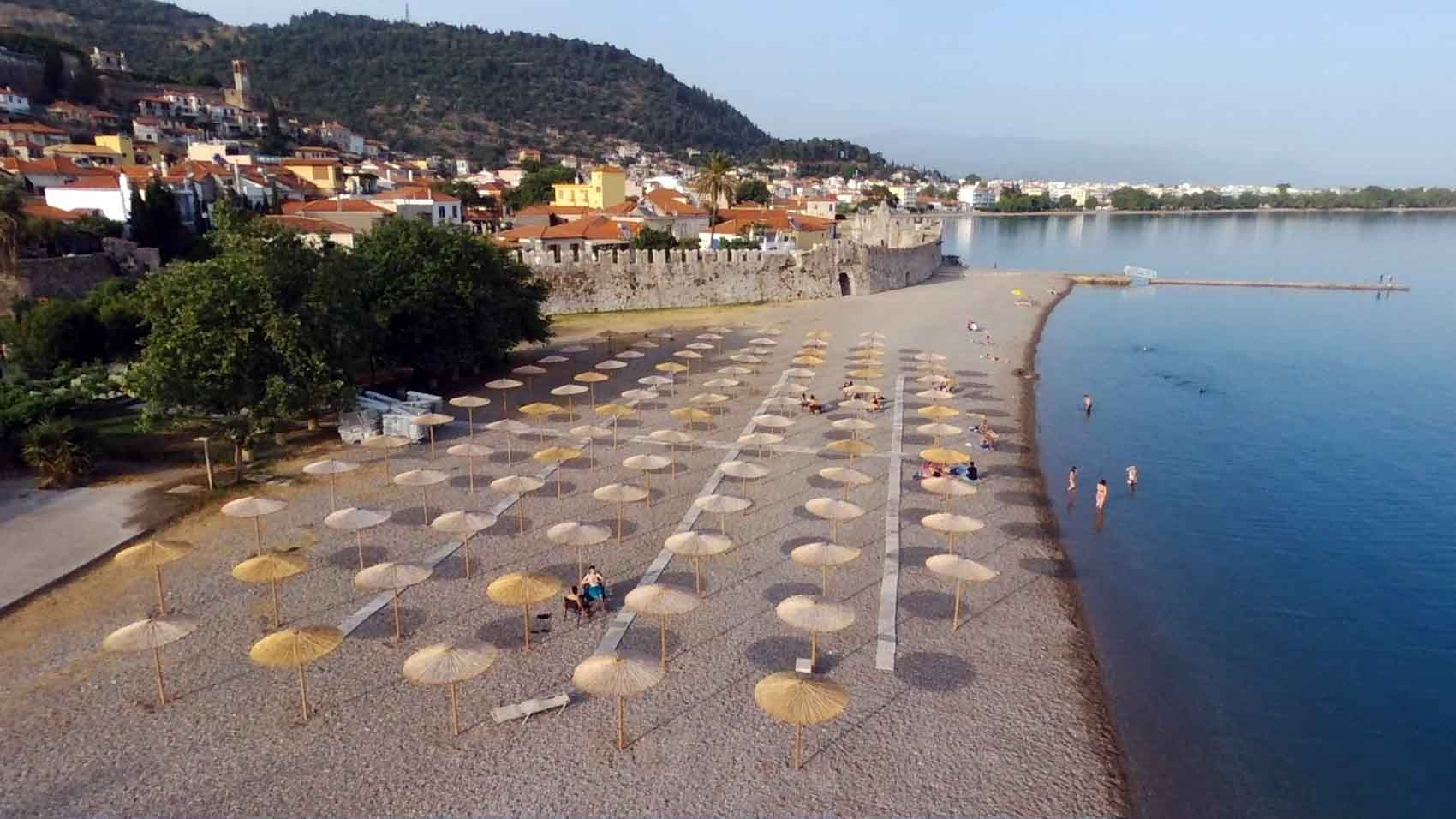
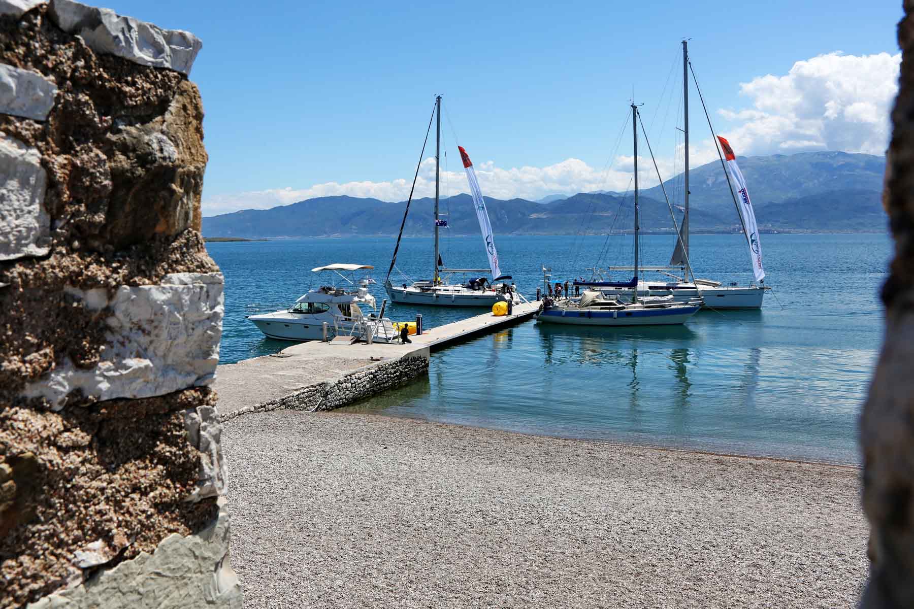
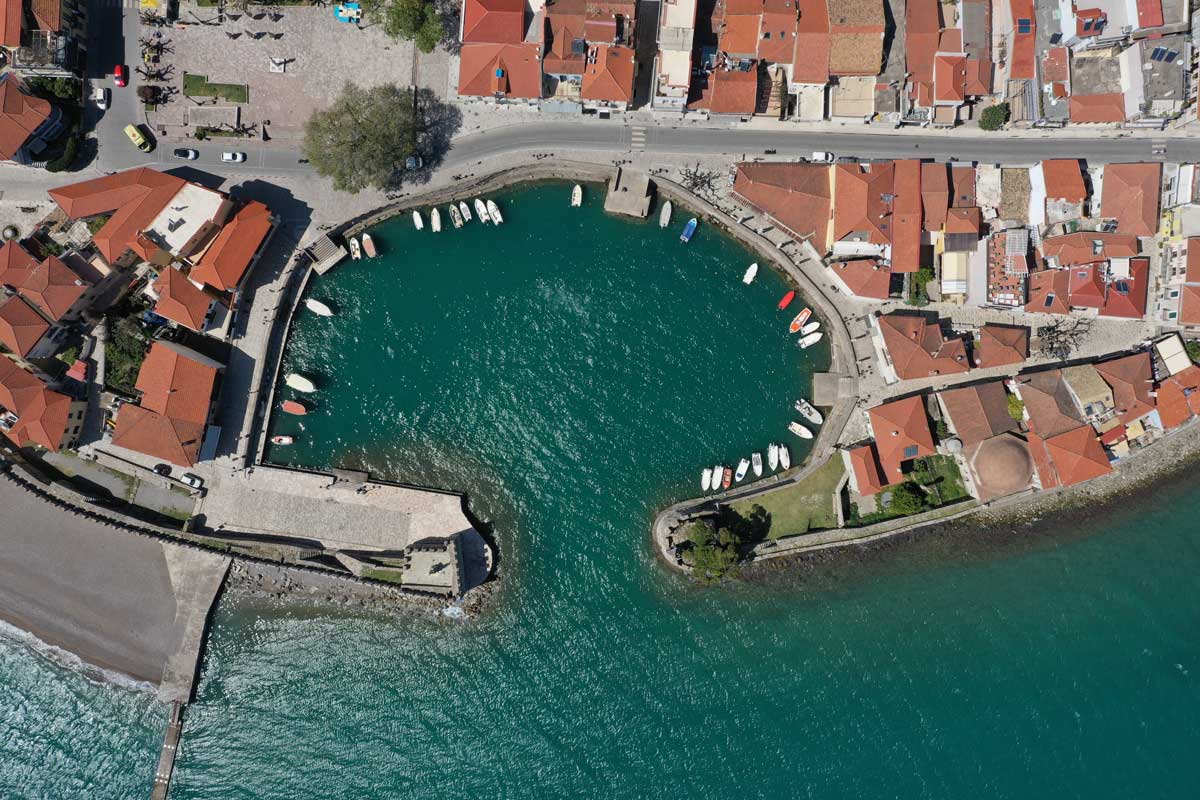
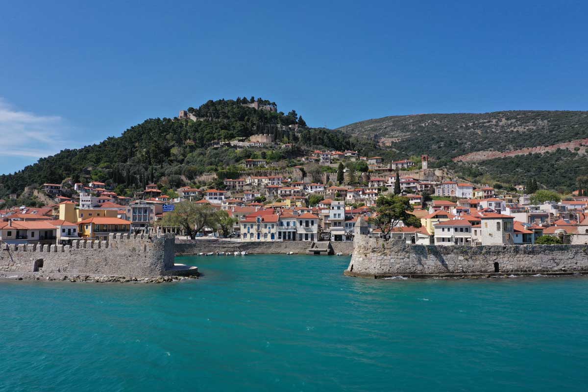
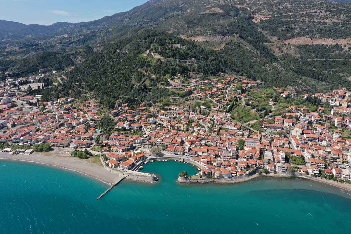
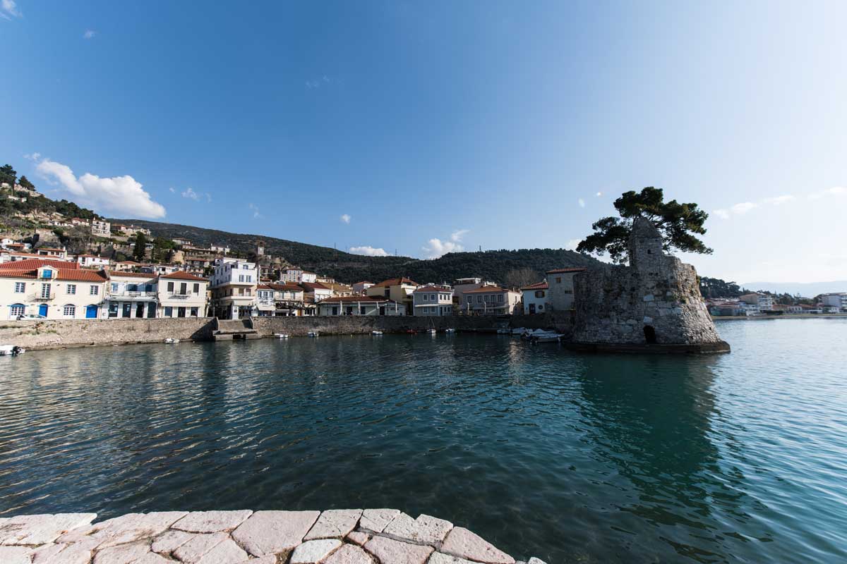
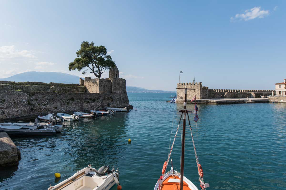
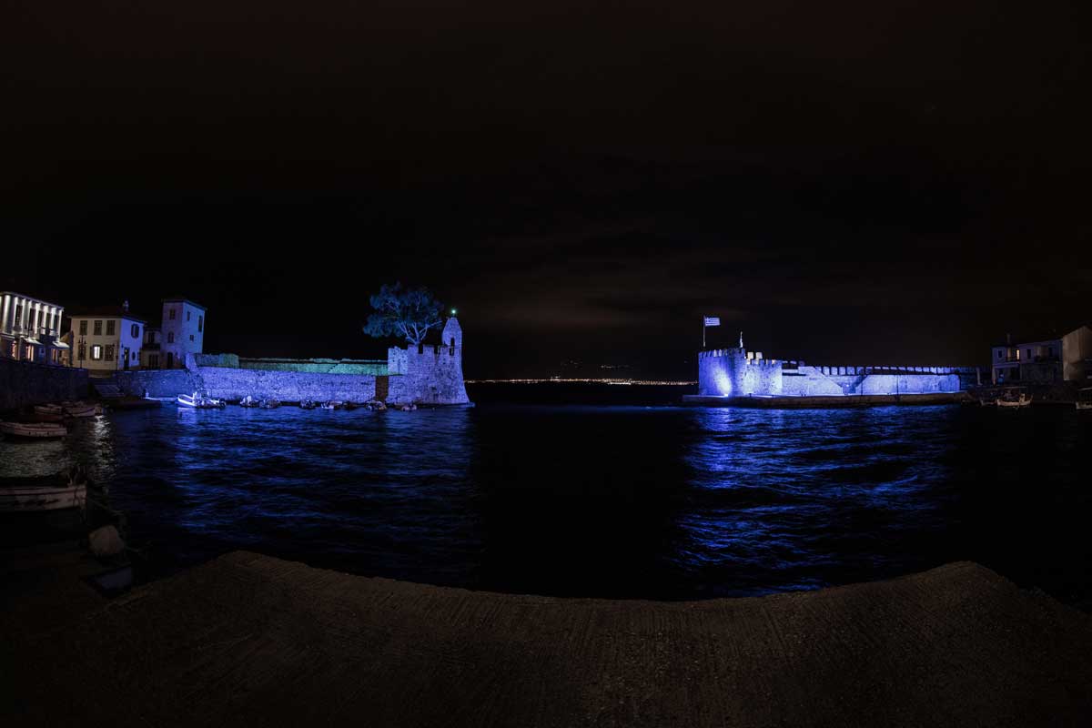
The port of Nafpaktos, which is essentially the castle’s first zone of defense, is shaped like a small horseshoe, as its entrance is only 35 meters wide.
- INFO
The trademark of Nafpaktos
The port of Nafpaktos, which is essentially the castle’s first zone of defense, is shaped like a small horseshoe, as its entrance is only 35 meters wide.
It has played an important role in the region since antiquity, mainly as a naval station during the Messinian wars and the Peloponnessian War (5th – 4century -4th century BC). In Byzantine times, it became the naval base of the Byzantine fleet for its western operations, and since the 10th century it has been referred to as an intermediate station on diplomatic trips to the West. It is also connected by road to Constantinople.
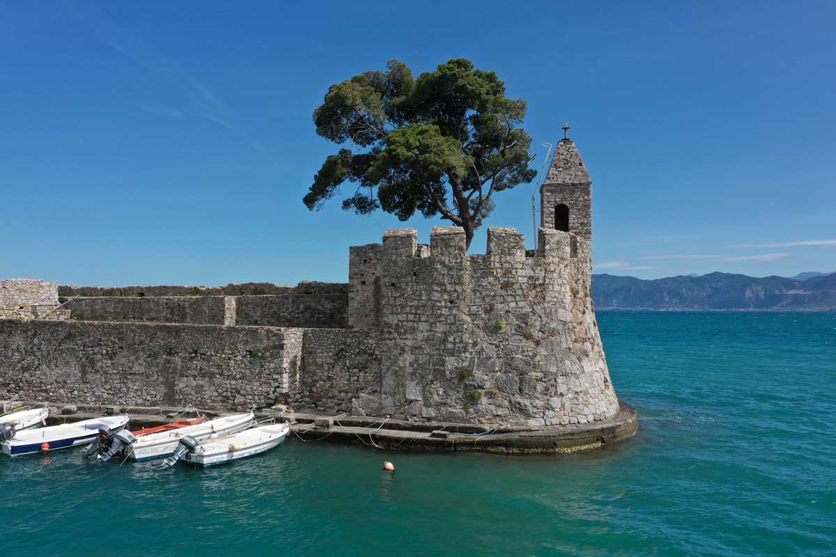
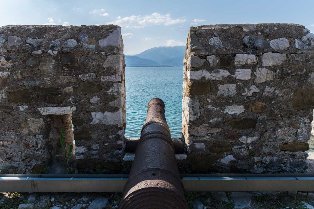
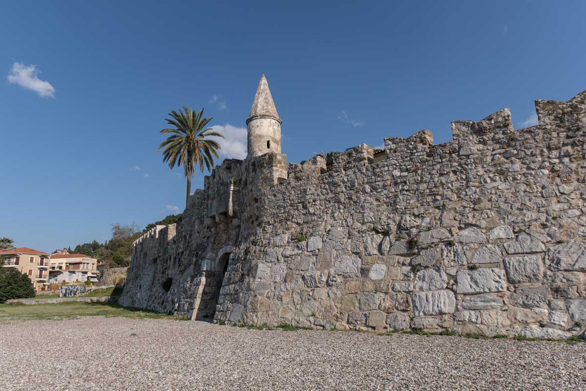
During the period of the First Venetian rule, from 1407 to 1499, Nafpaktos experienced great commercial growth and the Venetians also constructed its fortifications. The sea walls were built right on the water and were reinforced by cannons. Their defensive character is reinforced by battlements (the Venetian ones are those with the swallow-tail endings while the Ottoman ones are rectangular), while five cannon ports were formed at the base of the western port walls. Two powerful semicircular bastions were constructed on each side of the entrance to the port. The still surviving today Venetian sea gate is shaped with an arched sill and it is protected by a rectangular murder-hole. Later it was reinforced by an outpost with a cone-shaped roof for a guard (a corresponding outpost was added to the eastern bastion of the harbor). Cotton, wheat, salt and many other products were transported to all the Venetian possessions of the eastern Mediterranean through Nafpaktos. After the Ottomans took over the town in 1499, the port’s defense was strengthened. A pyramid-roof outpost was added to the eastern bastion of the harbor, which operated as a lighthouse. The western bastion was modified and since the 19th century it housed the customs authority which imposed dues on ships entering and exiting the port. The port of Nafpaktos was a great commercial center of the time and the products that were transported from there were mainly hides, oil, rice, tobacco and cereals.
At the same time, the port of Nafpaktos and the settlement became a pirate base, called small Algiers, which contributed to the decline in the commercial activity of the city. According to Baron Louis Deshayes (1625), the castle and the port of the city had been converted into “nests for the pirates known as “leventes”. Shortly afterwards, in 1675-1676, physician Jacob Spon said that the port closed its mouth with a chain, allowing only small and medium-sized ships to enter.
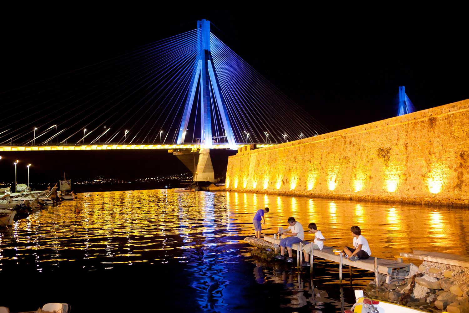
In the harbor you will see many interesting sights, such as the marine lighthouse and the Fethiyé Mosque built by Bayezid II (1499) in the eastern port pier . The western port arm is dominated by the statue of the fireship captain George Anemogiannis, who was killed (and became a martyr) during the Greek Revolution in 1821. Just a short distance away, the statue of Miguelde Cervantes Saavedra is a constant reminder to the Lepanto Naval Battle (1571). Every October, the Municipality of Nafpaktos, in commemoration of this important historical event, organizes events and a reenactment of the naval battle in the small Venetian harbor. Delegations and diplomatic missions from the countries which took part in the naval battle at the time participate in the celebrations.
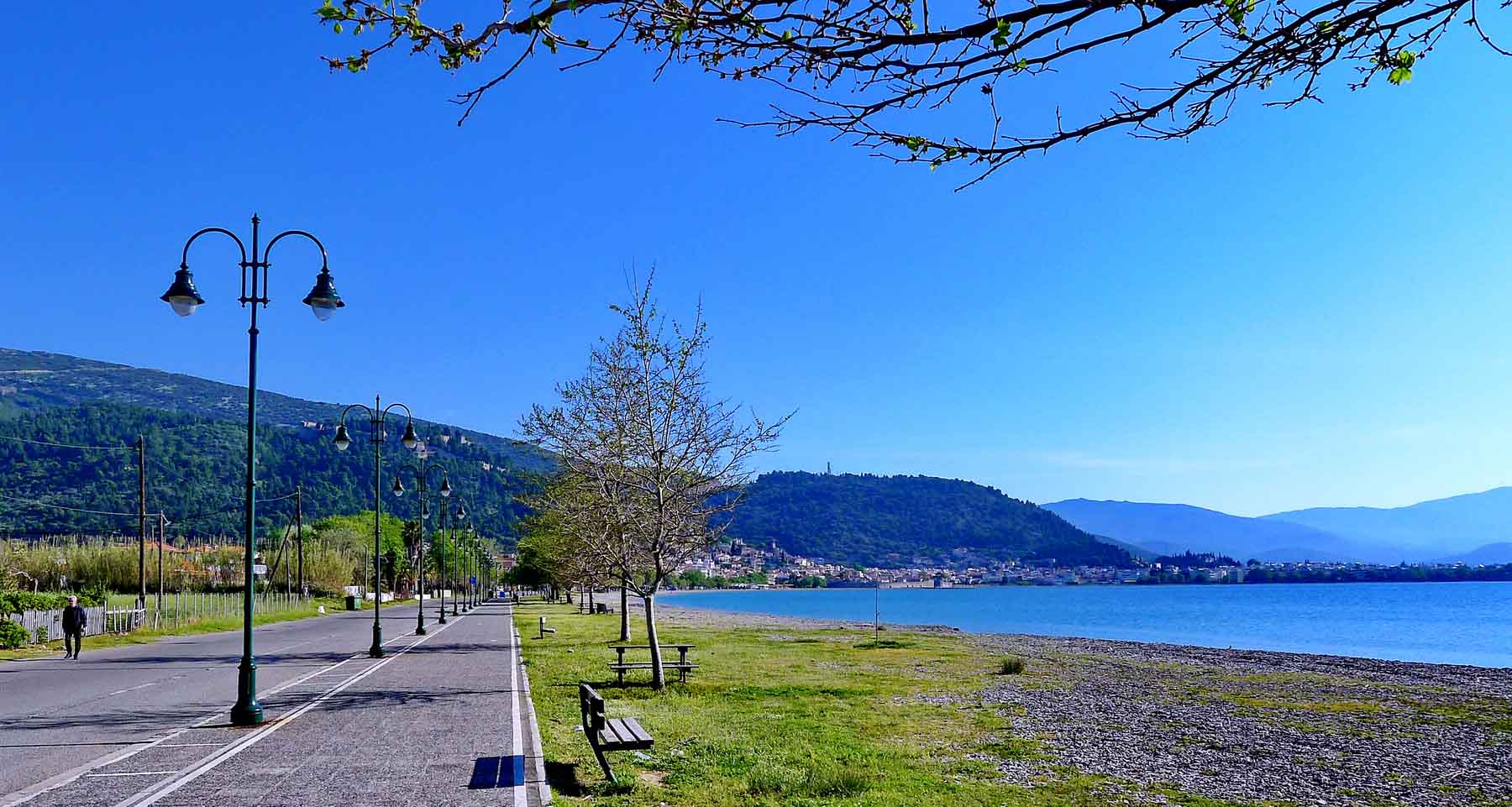
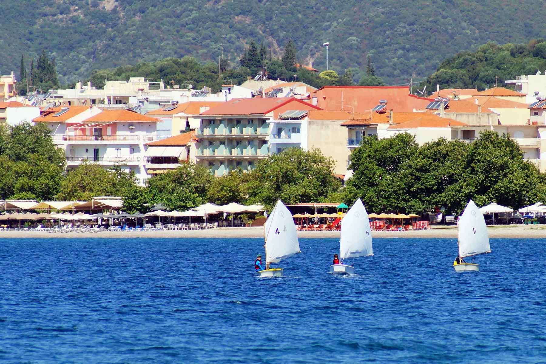
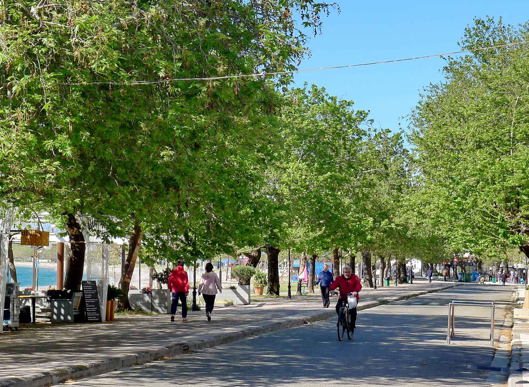
Today the port is a trademark of the city of Nafpaktos and a meeting point for locals and visitors alike. The cafes, the bars, the centuries-old oak trees, the colorful wooden boats and the sail masts that seem to be alternating with the Venetian bastions make up a unique natural setting.
Λιμάνι Ναυπάκτου - Port of Nafpaktos
Λιμάνι Ναυπάκτου - Port of Nafpaktos
Λιμάνι Ναυπάκτου - Port of Nafpaktos
Λιμάνι Ναυπάκτου - Port of Nafpaktos
Λιμάνι Ναυπάκτου - Port of Nafpaktos
Λιμάνι Ναυπάκτου - Port of Nafpaktos
Λιμάνι Ναυπάκτου - Port of Nafpaktos
Λιμάνι Ναυπάκτου - Port of Nafpaktos
Λιμάνι Ναυπάκτου - Port of Nafpaktos
Entertainment suggestions
It might interest you...
Coffee
Restaurants
Folk Art
For the kids
Coffee
Sorry, we couldn’t find any posts. Please try a different search.
Restaurants
Sorry, we couldn’t find any posts. Please try a different search.
Folk Art
For the kids